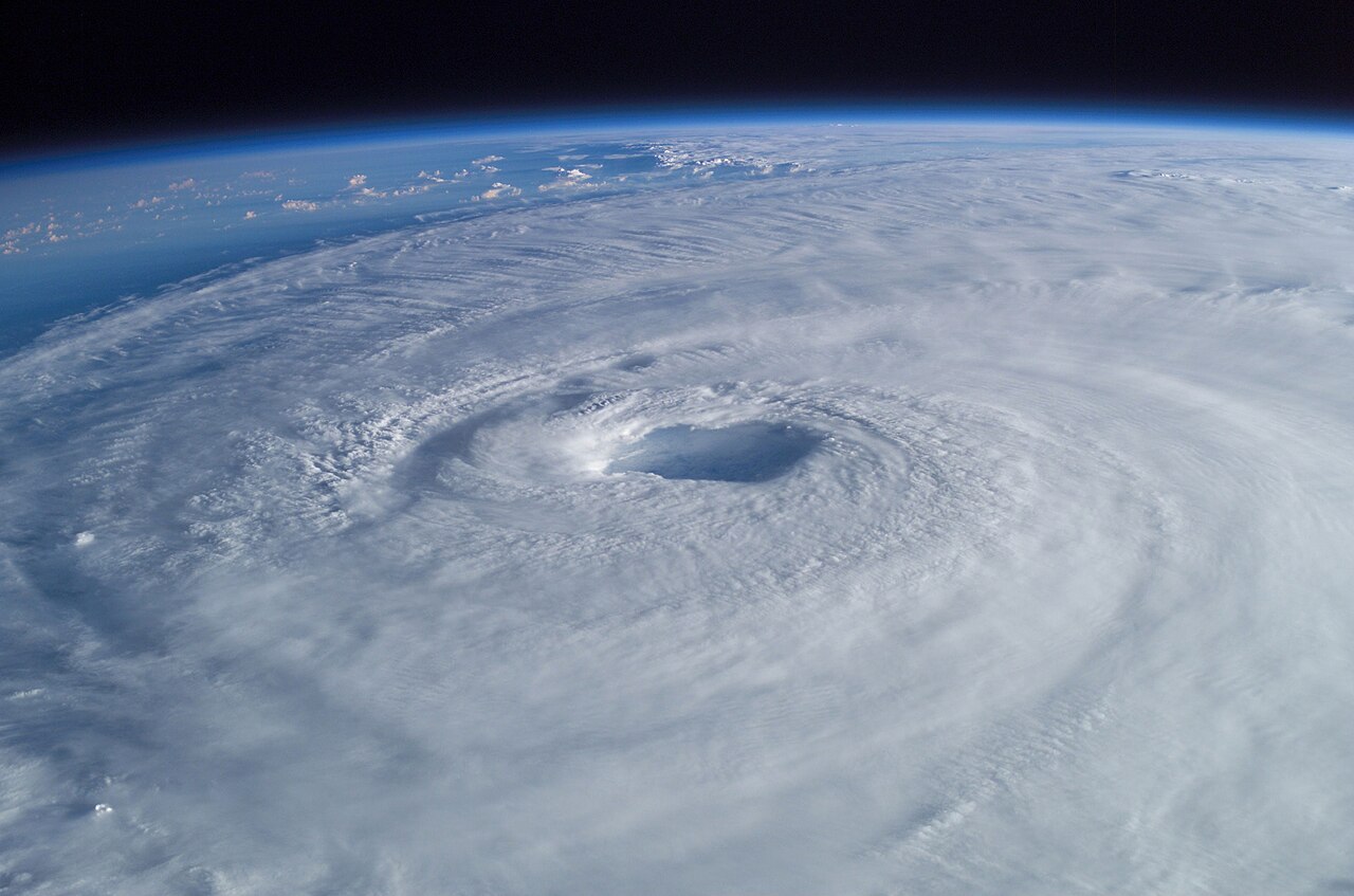
Full disclosure up front: I run this one. Two weeks ago Hurricane Isaias came ashore near Destin as a Category 2 with 105 mph winds, and a lot of people on the Gulf Coast spent that week squinting at cone graphics that looked like a plate of spaghetti someone dropped on a map.
That’s the problem I was trying to fix. The official storm products are excellent and they’re written for people who want every detail, which is most of the people who make them and almost none of the people who are just trying to decide whether to move the patio furniture. Sometimes you want the one-glance version.
So I started @HurricaneWorry, the Hurricane Worry Tracker. Every day it posts a Hurricane Worry Index, a dark-blue map of the Gulf and Southeast Atlantic coast with an emoji pinned on each coastal city. The scale runs from “All clear” to “Eyes on it,” then “Getting nervous,” “Battening down” and finally “Get Out!” I post more often when something is actually bearing down on us, and there’s a daily version on TikTok too.
The tone is deliberately loose. A quiet day gets a line like “Sunscreen weather only.” Life in Florida already comes with enough dread, and a little humor makes the daily check-in something you’ll actually do, which beats a warning you scroll past. I’ve written before about how Florida can’t even get people to move over for a flat tire, so I’m not under any illusion that people read the fine print on their own.
Now the serious part, and I mean it. This is a fun gauge. It is not a forecast, and every post says so. When there’s a real storm, your evacuation decision belongs to the National Hurricane Center, the National Weather Service and your local emergency management office, and nothing with a cartoon sunglasses face on it replaces them. If my map and your county’s evacuation order disagree, your county wins. Every time.
As for right now, it’s quiet where it matters. As of this morning the NHC is watching one non-tropical low off the mid-Atlantic coast, which has a 40 percent chance of picking up some subtropical character before it speeds off to the northeast. It’s not a Southeast problem, though it is sending high winds and rough surf toward parts of the East Coast. The season runs through November 30, so I’m not putting the sunglasses away yet.
If you want the simple daily read, follow along on X or TikTok. The pitch is the one I started with: there’s a lot of great, very detailed information out there, and sometimes it’s just too much.
My two cents: the best storm warning is the one you actually read, so make the first look easy and let the experts handle the second.